
A weather model is a computer program that solves thermodynamic equations to simulate the future state of the atmosphere. Two global models dominate discussions among enthusiasts and professionals: the GFS (Global Forecast System), operated by NOAA in the United States, and the ECMWF (often referred to as “Euro”), managed by the European Centre for Medium-Range Weather Forecasts.
Their operation differs on specific technical points that directly influence the quality of forecasts depending on the time horizon and the targeted geographical area.
Grid resolution and data assimilation: what separates GFS from ECMWF upstream
Before comparing the results, it is essential to understand what distinguishes the two models at the input stage. Each model divides the atmosphere into small cubes, the size of which depends on the grid resolution. The finer the grid, the more detail the model captures regarding topography and local phenomena.
The GFS model uses a grid with a coarser resolution than that of the ECMWF for its global outputs. The European model, through its IFS system, operates with a tighter grid, allowing it to better represent terrain features, coastal contrasts, and small-scale weather structures.
The other structural difference concerns data assimilation. Both models ingest observations from ground stations, weather balloons, satellites, and radars. The ECMWF uses a 4D variational assimilation system that integrates observations over a time window, whereas the GFS has long relied on slightly different methods. This step conditions the quality of the initial state, and a more accurate initial state produces more reliable forecasts, especially beyond three days.
To delve deeper into the comparison between GFS and Euro, it is also necessary to consider the recent updates of both systems, which gradually reduce some historical discrepancies.

Reliability of short- and medium-term weather forecasts: GFS versus the European model
In the first 72 hours, both models produce generally comparable results for major trends (passage of a front, direction of prevailing winds, thermal evolution). Discrepancies widen from the fourth day onward.
The ECMWF is regularly considered more effective in the medium term (5 to 10 days). Several operational verifications show that its forecasts of geopotential and temperature remain closer to actual observations at these timeframes. The GFS, on the other hand, tends to diverge more quickly, particularly regarding the precise positioning of depressions and the amounts of accumulated precipitation.
This difference can be partly explained by the choices of physical parameterization. Each model simplifies certain processes (convection, turbulence, radiative exchanges) with different mathematical schemes. The ECMWF’s schemes, combined with its finer grid, give it a measurable advantage in complex weather situations in Europe and the North Atlantic.
Case of precipitation forecasts for France
For rainfall forecasts over French territory, neither GFS nor ECMWF is used alone by Météo-France, which has its own regional models (AROME, ARPEGE). These very fine grid models outperform the two global models for localized phenomena such as thunderstorms or Cevenol episodes.
GFS and ECMWF remain useful as a synoptic framework: they provide the boundary conditions that regional models then refine at the local scale.
Access to GFS and ECMWF data: the end of a historical imbalance
For a long time, GFS had a decisive advantage for non-institutional users: its data was entirely free, distributed in GRIB format via NOAA servers. The ECMWF, on the other hand, reserved its high-resolution outputs for paying members and national meteorological services.
Since October 2025, this imbalance has reduced. The ECMWF has opened free access to its IFS outputs at a resolution of 0.25°, available up to 360 hours for 00 and 12 UTC runs, and up to 144 hours for 06 and 18 UTC runs. This change alters the landscape for weather application developers, navigators, and farmers who previously compared free GFS data with degraded or paid ECMWF outputs.
Access to data from both models is now comparable on several points:
- GFS GRIB files cover the entire globe and are updated four times a day (00, 06, 12, 18 UTC), with three-hour time steps
- Open ECMWF outputs offer similar resolution and deadlines of up to 15 days for main runs
- Both datasets are usable by navigation software and visualization platforms like Windy or Meteociel
Multi-model approach: why choosing a single weather model is not the right question
Operational meteorological services never base their forecasts on a single model. In the United States, the National Weather Service uses the National Blend of Models (NBM), which combines outputs from GFS, ECMWF, the Canadian model, and other statistical guidance. This blend consistently outperforms forecasts derived from a single model across all time horizons.
This multi-model approach is based on a simple principle: each model has different systematic biases. By averaging or weighting several outputs, individual errors partially compensate for each other. The result is a more stable forecast that is closer to the observed reality.
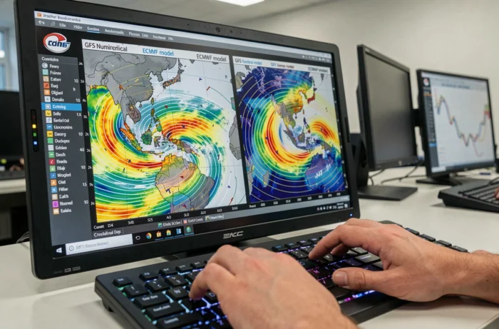
For an end user, the relevant question is therefore not “GFS or Euro” but rather “which platform gives me access to a set of models and allows me to cross-reference them.” Tools that display multiple models side by side help identify consensus situations (high confidence) and divergence situations (high uncertainty).
- When GFS and ECMWF converge on a scenario, the probability that this scenario will occur significantly increases
- When the two models diverge sharply beyond five days, the forecast remains very uncertain regardless of the model consulted
- Probabilistic ensembles (GFS Ensemble, ECMWF EPS) provide a better understanding of uncertainty than a single deterministic output
The ECMWF retains a measurable technical advantage in the medium term, particularly due to its grid and assimilation system. The GFS remains a valuable tool, always free and now partially challenged in this area by the opening of European data. The most reliable strategy is to cross-reference both models and monitor their degree of convergence rather than betting on one of them.